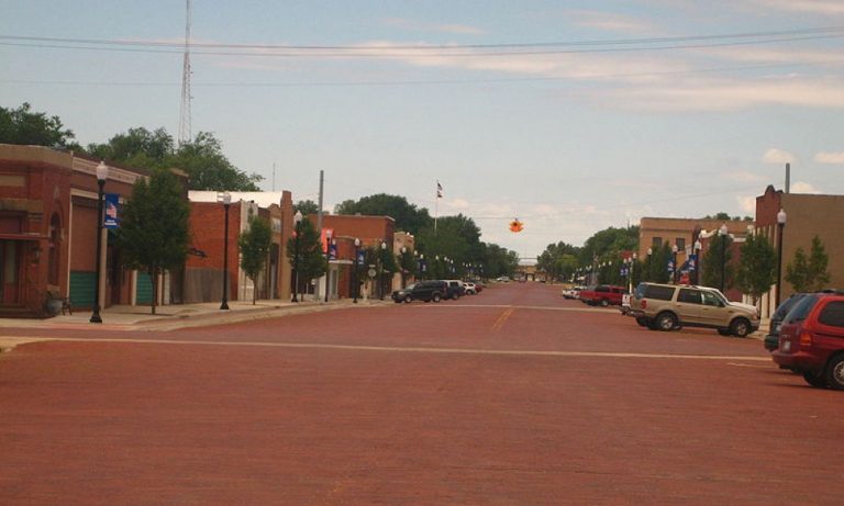
Panhandle is part of the Amarillo metropolitan statistical area and it is the county seat of Carson County, Texas. It is situated slightly south of the center of Carson County. U.S. Route 60 passes through the town, leading northeast 27 miles (43 km) to Pampa and southwest the same distance to Amarillo. Texas State Highway 207 crosses US 60 in Panhandle and passes through the center of town; it leads north 23 miles (37 km) to Borger and south 9 miles (14 km) to Interstate 40 at Conway. It was formerly called "Carson City" until it was aptly named "Panhandle City" due to its central location in the Texas Panhandle. A post office was opened in 1887 and it became the terminus of the Panhandle and Santa Fe Railway in 1888. In 1909, Panhandle voted to incorporate with a mayor-council government. Panhandle continued to thrive in the 1980s as a regional marketing and shipping center for cattle, wheat, and petroleum products. Also, the Carson County Square House Museum is located inside the oldest house in Panhandle and is listed on the National Register of Historic Places. Airports located in Panhandle include Panhandle-Carson County Airport (T45) (Runways: 1) and Stamps Field Airport (3TE5) (Runways: 1). With a total area of 2.1 square miles, it reached a population of 2,350 in 2017.

Are you a customer or the owner/manager of the business you'd like to add?