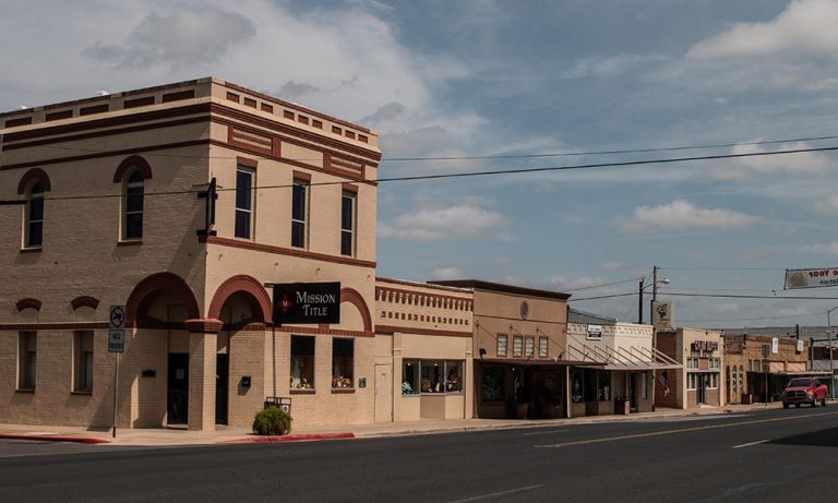
Pearsall was named after the vice president of the International-Great Northern Railroad Thomas W. Pearsall in February 1882. The company bought a stopover place, a large sheep ranch, in the 1870s called Waggoner's (Wagner's) Well between Frio Town and Pleasanton. By 1884, the city became the new county seat of Frio County. It is situated near the center of Frio County, specifically, on Interstate Highway 35 and the Missouri Pacific Railroad fifty-five miles southwest of San Antonio in the central part of the county. Oil was discovered in the 1930s, natural gas was initiated in 1945, most of Pearsall's avenues were paved in 1947, and in the early 1990s the town had something of an oil boom led by Oryx Energy, which began drilling in the Pearsall field in September 1989. In 2003, Pearsall annexed the unincorporated neighborhood of West Pearsall which helped in increasing Pearsall's population. With a total area of a total area of 5.9 square miles, they reached a population of 10,345 in 2017. Airports and heliports located in Pearsall include Mc Kinley Field Airport (T30) (Runways: 1), Agricultural Supplies Airport (XS42) (Runways: 1), Jay Kay Ranch Airport (XS40) (Runways: 1), and Frio Regional Hospital Heliport (TE98).
Are you a customer or the owner/manager of the business you'd like to add?